
Looking for your next adventure this summer to beat the Arizona heat? I have just the spot for you: Box Canyon in Payson.
Box Canyon is a hidden canyon that fills with pools of water in the summer from springtime rain. In the canyon you’ll find little cascading waterfalls flowing through the rocks creating perfect little swimming holes.

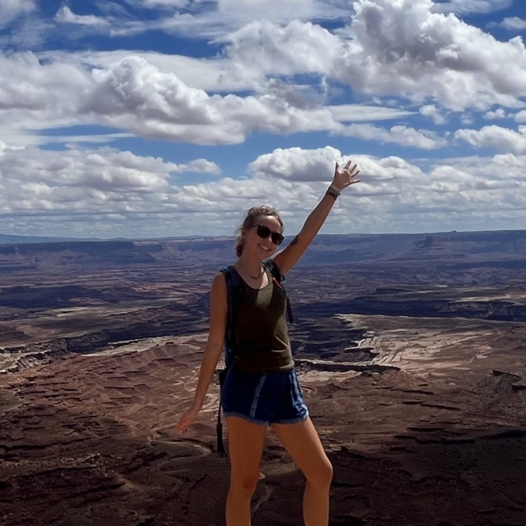
This is a great place to cool off in the summer heat, especially for those of you living in the Phoenix area like my partner and I. We visited Box Canyon while exploring Payson during the summertime and it was always a cool spot to spend a few hours.
The nice thing about Box Canyon is that it’s still a pretty unknown place. You have to hike to it and we didn’t come across another soul the entire time.

If you’re looking for places to visit in Payson this summer, keep on reading to find out everything you need to know to find this secret swimming hole.
Pin this post for later!

Where is Box Canyon?
Box Canyon is a small canyon located about 20 minutes east of Payson, deep in the Ponderosa Pine forests of the Mogollon Rim.
Payson is a small town in central Arizona about 1.5 hours north of Phoenix, and nearly 2 hours southeast of Flagstaff.
Places to Stay in Payson:
$$$$$
The Mogollon Rim stretches across the center of the state forming a steep, forested, plateau. This rim is what separates cool, high country from the hot and arid desert below.
The great thing about hiking in Payson is that since it’s surrounded by dense forests, it offers a beautiful alpine escape from the desert heat of southern Arizona.

My partner and I would often drive up into the mountains to go camping in the summer. There’s tons of campgrounds in Payson to choose from and it’s one of the best places to camp in Arizona.
Hike Info
| Mileage | Elevation Gain | Duration | Difficulty |
| 2 mile round trip | 315 ft. | 1 hour | Moderate |
The hike to Box Canyon isn’t too challenging, if you’re a frequent hiker you should have no issues with this trail.
You do have to go down a pretty steep decline to get to the canyon and the terrain is very rocky. Since it’s only for a short time it really doesn’t feel too bad though.
The trail isn’t very well marked, so you must have a map with you to prevent yourself from getting lost. Make sure you have somewhat decent navigational skills.
I’ve linked my hike to Box Canyon in Payson on AllTrails here to make getting there easier for you.
Following my AllTrails will be the easiest way for you to find your way.
Things to Bring on the Hike
- Water shoes if you plan to swim
- Swimsuit if you plan to swim
- Sturdy hiking shoes
- Water
- Snacks
- Sunscreen/ hat for sun protection
- Map of the hike on your phone with enough battery
Trailhead & Parking
There is no real trailhead for Box Canyon because this isn’t really an official trail.
But there is a large parking area right off highway 260 in Payson where the “trailhead” is located. You can find the coordinates here.

It’s basically just a dead end gravel road, but this is the easiest and best place to park to access Box Canyon.
This parking area can accommodate 20+ cars and there was no one here when we began hiking. No need to worry about finding a spot.
Starting the Hike – First 0.5 mile
After you park in the lot, you will want to start walking east into the forest.
There will be a trail (looks like gravel car tracks) and it will follow under utility poles. This is the way you’ll want to start heading.

You will be walking under these utility wires for about 5 minutes until the trail naturally guides you to the right and more into the woods. Away from the highway.
Soon after the trail turns to the right, it will snake back left taking you back up towards the highway.
Going Through the First Fence to Get to Box Canyon
You will then come across a large metal fence and gate, shown below.

The gate isn’t locked, but you will have to open it using a small strip of wire that wraps around the fence doors keeping it closed.
This marks about a quarter mile on the trail.
After you get to the other side of the fence, you will have to hike uphill towards the road.
This part of the trail isn’t the nicest, but you gotta do it. I never like hiking along roads.
You will see a narrow dirt pathway that runs along the highway, this is the trail. Some parts are overgrown, but mostly it’s an easy trek.

I felt safe hiking along this highway because 1) it was only for a short time and 2) this highway doesn’t get that busy. It’s not like one of the crazy highways you’ll see in Phoenix.
You will hike along the road for maybe about 3 minutes until the trail leads you up into the forest on your right.
There will be white signs ahead of you next to the road that say “Emergency Parking Only”. This is where you turn right and begin hiking towards the forest.

Shown above are the signs signaling you to begin hiking off to your right, and shown below is what the trail looks like once you’ve started hiking away from the highway.

As you begin hiking into the forest, there will be a lot of random dirt pathways around you.
This can be a little confusing, so just refer to my AllTrails map to help you out here.
Crossing the Second Fence to Get to Box Canyon
You will quickly come upon another fence to pass through. You’ll have to open a small makeshift gate in the fence and go through it. Shown below.

This next part of the hike is really beautiful, there are Ponderosa Pine trees towering above you as hike on the soft, orange pine needles beneath you. Very picturesque.
Other than the canyon itself, this is my favorite part of the hike.

Hiking Down to Box Canyon in Payson
You will keep following the trail until the woods begin to open up and you are greeted with gorgeous green mountain views and a steep rocky terrain trail ahead of you.

Again, for this part it will be easiest to follow the trail from my AllTrails.
But you are essentially just following the cliffside and staying as far left as you can away from the edge. This path will take you all the way to Box Canyon.
This short section alone descends 200 feet so use extreme caution when hiking down on these rocks.

Eventually, you will begin to see the start of the canyon out in front of you and maybe even some water from Christopher Creek in puddles below you off the cliff.
The best part about this section of the trail is that you don’t hear the sound of the highway anymore, just the peaceful sounds of nature.


Once you get to the bottom, you’ll see the water from the creek flowing into the canyon creating the waterfalls and pools of water. There will also be beautiful, green, lush vegetation surrounding the creek, which can be rare to see in Arizona.
Swimming at Box Canyon
Swimming here is entirely optional, just hiking to the canyon and hanging out for awhile is a great experience.
You’re guaranteed to have this spot all to yourself which makes it even more special.

But, if you do want to swim, the easiest way to access the water is the left side of the canyon. The rocks on this side of the canyon are easier to climb down and up. Again, be careful on this part.
I would not suggest cliff jumping into the water at Box Canyon. The water is not very deep.
Looking for a Campground in Payson?
When we visit Payson, we always opt to camp or car camp. The forests of the Mogollon Rim are the perfect setting for camping and there are tons of campground options in the area.
There’s even two exceptional campgrounds very close to Box Canyon!
The Ponderosa Campground Payson is a great place to camp with 47 campsites and two group sites available. Prices go for $22 per night and there is a 14 day stay limit.
Christopher Creek Campground Payson is another very close option. This campground offers 43 campsites and one group site that sit along a serene creek. Prices go for $24 per night, but if you have an America the Beautiful, Senior or Access Pass, you can receive 50% off.

If you were looking for more places to visit in Payson, I hope you got a new idea to add to your itinerary! Box Canyon is a perfect little spot to spend a few hours in the summer to cool off.
This hike really surprised me. It’s amazing that something so beautiful can be so hidden and in the most unsuspecting place.
There’s so many trails out there especially in this area that can get so packed with people that it takes away from the experience. Hiking to this canyon is still relatively unknown so it’s nice to get a break and be totally alone out in nature.
Thank you so much for reading!


Leave a Reply