
Looking for an awesome hike to check out in Phoenix this spring and winter? You won’t want to miss the Canyon of the Waterfalls trail in the Superstition Mountains.

It may be hard to believe that a waterfall can flow through the arid deserts of southern Arizona, but there are actually tons of seasonal waterfalls around the Phoenix area that can be reached by hiking trail.
I’ve done quite a few during my time in the Grand Canyon State and I think the best waterfall in Arizona is the Canyon of the Waterfalls.
The hike itself is gorgeous the entire way and if you visit during the right time, the waterfall views are unmatched.
In this post I will provide you with a complete guide for this trail including when to see the waterfall, what to expect on the trail, along with other essential information to prepare you for this hike.
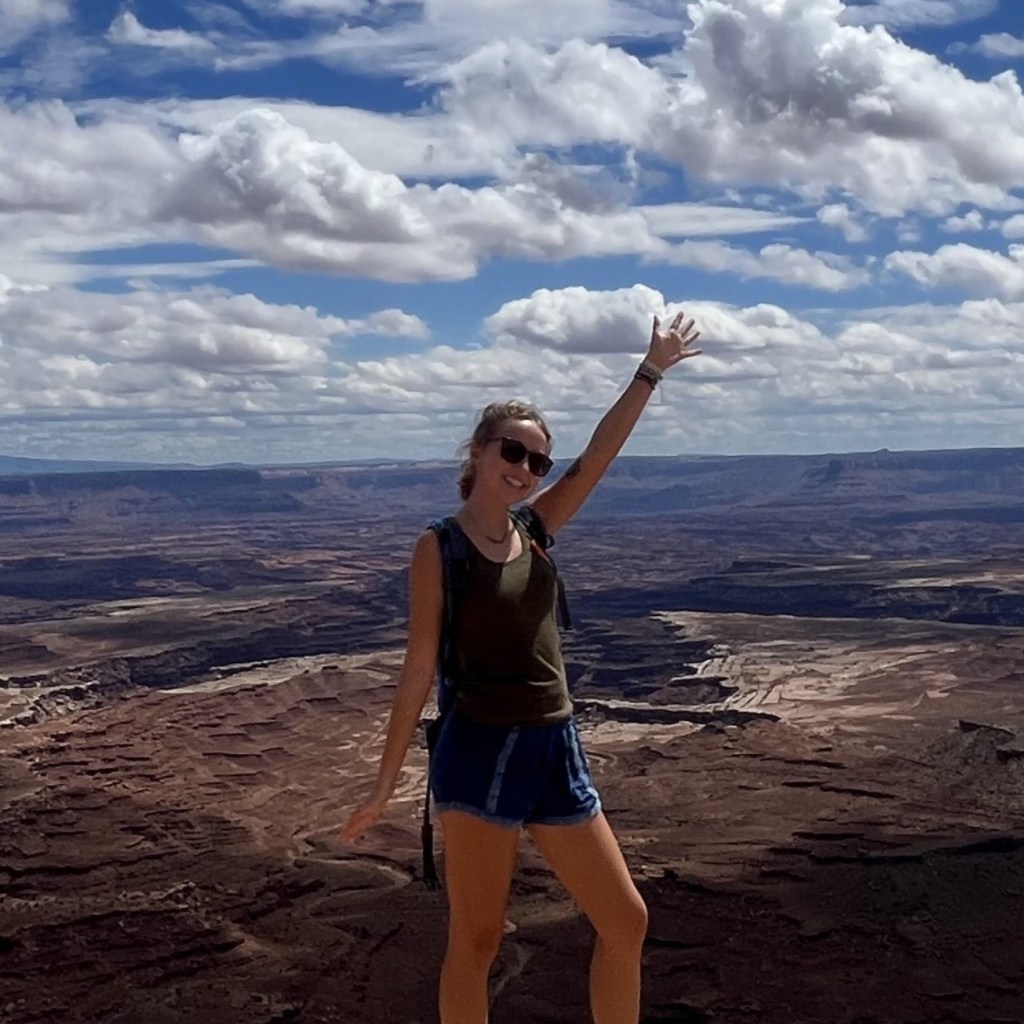
Pin this post for later!

Canyon of the Waterfalls Trail Info
- 5 miles round trip (out and back)
- 1,200 feet elevation gain
- Moderate-hard level hike
- Rocky terrain, slippery rocks, and mud
- Steep rock scrambling required at times
Things to Know Before Hiking
- Due to the difficult nature of the trail, I would recommend hiking this with a buddy especially if it’s your first time
- Download the AllTrails map ahead of time, you’ll need it and you get little service here
- Wear sturdy hiking boots
- There is no fee for parking or hiking this trail
- No bathrooms at trailhead
When to See the Waterfall
After heavy rainfall & snow melt
To catch the rushing water of the falls, timing is key: visit after a spell of heavy rainfall and/or snowmelt.
Spring is definitely the best time to hike this trail. A combination of snowmelt from winter, more frequent rain showers, and mild temperatures will result in the best hiking experience.
We hiked this trail in early April after it had rained the previous day, night, and into the morning of our hike. So, we got to see a pretty good water flow.
I would recommend just keeping an eye on the weather and if you get a few days of good rain, hike this trail as soon as you can after!
The amount of water you’ll see at the falls will largely depend on how much rainfall and snow the area experienced in the previous weeks and months.

Plus, springtime brings beautiful wildflowers to the desert! If you aren’t from Phoenix, you’ll be shocked at how the land can turn so green and colorful.
The Superstition Mountains are one of my favorite places in Arizona to experience the gorgeous springtime color.


Trailhead & Parking for Canyon of the Waterfalls
The trailhead is located off of a dirt road just a minute or two north of the entrance to Lost Dutchman State Park.
If you’re coming in from Phoenix, you will be taking E Brown Rd until it turns to W Lost Dutchman Blvd. Then a slight left turn onto E Apache Trail.
Once you pass the state park, keep an eye out for the next right turn onto a dirt road because this is where the trailhead is.
Right before the turn you will see a brown sign with a hiking symbol on it that says “First Water Trail”. This is where you turn.
You can easily get directions from AllTrails as well.
You do not need 4 wheel drive to drive on this road however, a high clearance vehicle would make this drive a lot easier.
We drove to this trailhead in a sedan and made it fine, but we had to take it pretty slow. There are a few potholes in the road that kept scraping the bottom of my car.
You are only driving on this bumpy dirt road for about a quarter mile until you reach the trailhead.
The parking area is just a small pull off on the dirt road, with only enough space for about 15 cars. The trailhead is not marked or labeled so we relied on AllTrails to get us there.
Mile 1 & 2 of Canyon of the Waterfalls Trail
The beginning of the hike starts off rather easy as the pathway is made of dirt and you’re only hiking up a subtle incline.
Chances are you’re hiking after rain, so expect this section of the trail to be muddy.
The trail is easy to follow here, but there are a few forks in the road where you can easily make a wrong turn and begin hiking on a completely different trail. AllTrails also came in handy for us in these beginning miles.

Around the first mile mark, you will definitely be able to tell that you’ve gained a few hundred feet in elevation. And it only gets tougher from here!
The trail will increasingly become more difficult as you transition out of the sandy/dirt path and onto a more rockier trail.
The plants will become more overgrown and you’ll feel like you’re really getting into the remote parts of the mountain
Next, you will get off the dirt trail and begin climbing up a massive boulder.
This isn’t very challenging but there will be a few slick parts if you’re hiking after/during rain. But, for the most part you do get pretty good traction on the rock.

You’ll hike through some unique rock formations that are perfect for photo ops, and be surrounded by the beautiful flora and fauna of the Sonoran Desert.
Once you get to the top of this boulder, you will be treated to some awesome views of the surrounding mountains.

After you get past the boulder, you will get back onto another much narrower rocky trail that leads you deeper into the canyon.
It can be really tricky to find the trail once you get on top of the boulder so you might have to reference your trail map in this part.

You will continue hiking up a few more hundred feet of elevation while getting deeper into the rugged mountain terrain.
Along the way, you might see and hear a few little streams running down crevices in the rocks. When you see this, just know that you’re getting close!
After Mile 2
After you hit the second mile, there technically is no more official trail. You will just be hiking through the brush on very small rocky pathways.
At this point we were strictly relying on AllTrails to figure out which way to go because there were small pathways splitting off in all different directions. So you really want to make sure to have enough battery on your phone.
You will have to do some mild rock scrambling but nothing too crazy, yet.
Getting to the Waterfall
Once you see a small stream flowing down a tall rock to the left of the trail, that means you are almost to the end.
You may or may not see this stream of water flowing down, depending on how much rain Phoenix has gotten lately, but it is a good indicator of where you are on the hike.
For the last challenging part, you will come upon another large boulder that you will have to climb across to get to the other side of the trail.
We found small hand holds in the wall of the boulder and with careful foot placement, pulled ourselves across.
The boulder is slanted and will be slick after rain so it’s easy to accidentally slip and slide down. If you do slip, there is a flat section of rock a few feet below that you will land on, so it’s not that scary.
This was probably the most difficult part of this whole hike. So make sure you are physically prepared to do some moderate rock scrambling.
As soon as you get around the boulder you should be able to see the main waterfall!
We just went another tenth of a mile after this boulder part, but the trail technically continues on for another quarter mile above the falls.

We saw another hiker who went all the way up to the top and he told us he didn’t recommend going all the way up. So sitting here at the base of the waterfall was good enough for us.
We stopped here for a few minutes to eat a snack and had the entire waterfall to ourselves. It was absolutely gorgeous!
As we were hiking back, we had a beautiful sunset to watch on the trail. This was such a memorable hike for us and I hope someday I can hike it again!

And that will conclude my guide to the Canyon of the Waterfalls trail! This is definitely one of the best waterfall hikes in the Superstition Mountains and one of my favorites in the entire Phoenix area.
The waterfall really makes it so special and it’s not something you see often in Arizona. You definitely want to do this trail in the spring after rain to get the full experience of this beautiful hike.
I hope this post helped you prepare for this hiking trail and thank you for reading!
Check Out More Superstition Mountain Hikes!


Leave a Reply