
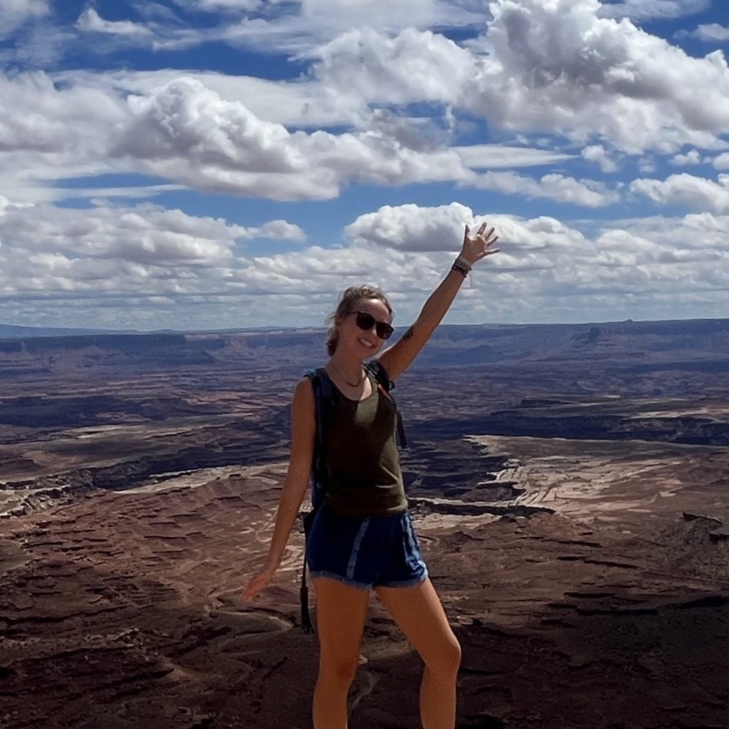
On a trip to San Diego a few years ago, my partner and I did a ton of hiking trails in the area. One of the most memorable for me was the Saigon Trail (also known as the Ho Chi Minh Trail).

This hike is anything but ordinary. You’ll transverse through a rocky canyon giving you awesome views of the surrounding cliffs, and then you’ll end the hike on a beach.
AllTrails has this trail rated as “hard”, despite it’s short mileage. After hiking I can totally see why.
So if you’re intrigued, keep reading to find out everything you need to know about hiking the Saigon Trail in San Diego!
Pin this post for later!

Where is the Saigon Trail?
The Saigon Trail is located in a neighborhood of La Jolla. So it’s quite north of downtown San Diego.
However, La Jolla is a quintessential destination when visiting San Diego. So if you plan on visiting Seal Rock or the many other attractions of La Jolla, it would definitely be worth it to spend a few hours hiking the Saigon Trail.
Trail Stats
| Mileage | Elevation | Duration | Difficulty |
| 0.7 mile round trip | 250 ft. | 1-1.5 hours | Hard |
Trailhead & Parking
The trailhead for this hike is located in a residential neighborhood where you have to park on the street.
It’s free but there are signs that say you only have a 2 hour limit to park there. So be cautious of that while you’re hiking, it’s a short trail in mileage but there are some tricky parts that will take some extra time and careful stepping.
We were parked there for about 2 hours exactly and we didn’t have any problems but make sure to keep that in mind.
Things to Know Before Setting Out
This is a super fun hike and it’s one of my favorites in San Diego. But there are a few things visitors need to know before hiking.
Best for Experienced Hikers
I would definitely say this trail is for more experienced hikers. For those who love more adventurous hikes, this is not your typical run of the mill trail.
You will be hiking on some tough, rocky, and unstable terrain. I wouldn’t say it’s dangerous, but you definitely have to have careful footing to avoid getting stuck in some sticky situations.

Only Attempt Hiking During Low Tide
I also want to make note that this trail is only going to be accessible during low tide.
It’s best to hike this trail in the afternoon hours. We arrived at the trailhead a little before 1 PM and were back at the car around 3 PM. This seems to be the best time to go.
When we were hiking on the beach you could tell the tide was very low, this is what you want.
You could also tell by all the mud where the end of the trail meets the beach that at night the tide comes all the way up to the cliffside.
So definitely go in the afternoon hours to get the whole experience of this trail.
Imagining San Diego? These booking sites have great deals!
Find your dream hotel
Discover the beauty of San Diego with Booking.com. Choose from beachfront hotels and cozy stays close to iconic spots like Balboa Park.
Check AvailabilityPlan your entertainment
Embark on an unforgettable adventure in San Diego with Viator. Explore the city’s vibrant neighborhoods or world-famous attractions
See pricesRent a Car
Explore the best of San Diego with Discover Cars. Rent a car to cruise the scenic coastline, visit hidden beaches, and discover Southern California’s attractions at your own pace.
See pricesWhat to Expect Hiking the Saigon Trail
The Saigon Trail begins with a walk on a short dirt path surrounded with overgrown plants and opens up to a beautiful view of the cliffside.

As you continue down the trail, you’ll begin to hike further into the canyon with steep cliffs surrounding you. You’ll then be faced with some “obstacles” on the trail.
There’s more overgrown plants, a wooden plank crossing a wash to walk over, and a pretty tight slot canyon to fit through. But that’s all what makes this hike such an adventure.

The path will open up and take you on top of unique rock formations through the canyon. There is a small drop off to your right here so you’ll have to watch where you step.
This section is my favorite part of this trail. The views of the cliffs from inside the canyon are phenomenal.
Once you get further into the canyon you’ll begin to see the ocean glimmering in the distance.

Descending to Blacks Beach
Over more rocks you’ll go until you start the final and most challenging part of this trail: the descent to the beach.
This is the most difficult part of the hike because of how muddy it can get. And it only gets worse with more people going up and down as they hike the trail.
There isn’t much to hold onto and it’s hard to get your footing right because of the mud. There were some people who were just sliding down the mud like a slide to get down to the beach.
This works if you don’t mind your clothes getting muddy! But I chose to keep my clothes clean and proceeded to meticulously plan each step and where to place my hands.

The rocks on the canyon walls are very crumbly and will just turn to dust if you don’t grab in the right spot. This also makes this part of the trail very challenging.
But, once you make it down the mud, you will be treated to some beautiful views of the coast down at Blacks Beach.

Hiking to the Mushroom House
From Blacks Beach, if you want to add a little more mileage to your hike, you can begin walking to your left to find what’s known as the “Mushroom House”.
This is a futuristic looking circular house that resembles the shape of a mushroom. The house was built next to the cliffs on Blacks Beach in the 1960s. It’s abandoned now and is unfortunately full of graffiti.

Walking down to the Mushroom House added on about another 0.75 mile each way.
So if you end up taking the detour to the Mushroom House, you’re looking at about a 2 mile round trip.
Of course this is totally optional, but I thought it was pretty cool.
Hiking Back Up
I think going back up is much more difficult. Not only are you ascending a few hundred feet of elevation in a very short time, but you are going to have to literally pull yourself back up on the trail from the beach.
There were some tree roots and branches we used to help pull ourselves up the mud and back onto the trail.
Once you get back up on the trail from the beach, you’ve pretty much completed the hardest part.

Overall, I really enjoyed this hike. I had never done anything like the Saigon Trail before so it was a fun challenge for us!
The Mushroom House was a cool bonus to see at the end so definitely check that out if you don’t mind adding a little extra mileage.
I would totally do this hike again next time I’m in San Diego. If you’re planning to do the Saigon Trail, I hope that now you know more about what to expect on the hike. Thank you for reading!


Leave a Reply