
Nestled in the Appalachian Mountains, Asheville, North Carolina is the ultimate hikers destination. There are so many hiking trails to choose from in the area, so I want to share with you all the best hikes in Asheville in this post.

I lived in Asheville for awhile a few years ago, so I hiked many trails in the area. But these are the 8 hikes that really stood out to me. I thoroughly enjoyed hiking all the trails on this list and they all have a little something unique about them.

The hikes on this list range from 2 to 12 miles, and many of them have options to increase mileage by hiking on connecting trails or cut back by taking different routes.
So whether you’re a beginner hiker or more experienced, you will find a hike on this list suitable for you. Best of all, all these hikes are free!!
Table of Contents:
- Mountains to Sea Trail- Blue Ridge Parkway
- Triple Falls Trail-DuPont State Recreational Forest
- Bearwallow Mountain- Gerton
- Mount Mitchell Trail- Mount Mitchell State Park
- Graybeard Trail- Pisgah National Forest
- Lookout Mountain Trail- Montreat
- Twin Falls Trail- Pisgah National Forest
- Fryingpan Mountain Lookout Tower- Pisgah National Forest
Pin this post for later!

1. Mountains to Sea Trail- Blue Ridge Parkway
- Mileage: Can be whatever you want!
- Conditions: Easy to follow, mostly flat
- Parking: Lookout point with several parking spots

The Blue Ridge Parkway is riddled with trails and lookout points but one of the most memorable trails is the Mountains to Sea Trail. The entire trail is quite long as it runs alongside the road of the Blue Ridge Parkway. This makes it easy for hikers of all levels to enjoy different parts of the trail as there are several places to park, get out, and start hiking. Some of my favorite starting points to hop on the MTS Trail are: Haw Creek Overlook, Craggy Dome Overlook, and Glassmine Falls Overlook.

2. Triple Falls Trail-DuPont State Recreational Forest
- Mileage: 3 miles round trip
- Conditions: Some steep parts but relatively easy trail
- Parking: Large parking lot at trailhead

The Triple Falls Trail will take you on quite the journey with several waterfalls and great spots for photo-ops along the way.
Most notably Triple Falls and High Falls can be found on this loop, but I would recommend hiking on the connecting trails to see Hooker Falls and Bridal Veil Falls if you’re looking to add on a few more miles.

I feel like this park isn’t talked about enough amongst the hiker community in Asheville. This is honestly one of the best hikes in Asheville on this list. It’s so underrated, if you only have time to do one hike, make it this one!
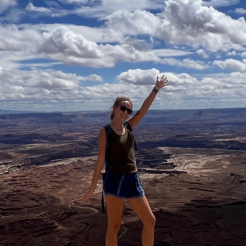
3. Bearwallow Mountain- Gerton
- Mileage: 2.1 miles round trip
- Conditions: Steady incline
- Parking: Side of the road at trailhead

There are many trails that lead up to the top of Bearwallow Mountain. Each one will take you up to a wide open clearing where hikers are often greeted by friendly cows that live on a farm near the peak.
With the lack of trees, you get pretty much 360 degree views of the surrounding mountain ranges. There are even picnic tables spread around making this a great spot to take a break for lunch!
4. Mount Mitchell Trail- Mount Mitchell State Park
- Mileage: 12 miles round trip
- Conditions: Steep and steady incline
- Parking: Parking lot at trailhead

Mount Mitchell is probably the most famous hike in the Asheville area. The summit is the tallest peak in the United States east of the Mississippi River. This out-and-back hike comes in at twelve miles total.
If you decide to hike this entire trail you will gain about 3600 feet in elevation. It is advised to make sure you have plenty of snacks and water with you to combat any elevation sickness if you’re not acclimated to higher altitudes.


Since this mountain is pretty famous to the area, it has become quite the tourist hub. Once you get out of the forest, the trail continues onto a paved road that leads you to the peak. Tourists are able to park just a short walk away from the summit and walk there.
As you can see the views are stunning but the crowds of people at the summit wasn’t my favorite end to a trail.
For a more in-depth guide on this trail, check out this post!
5. Graybeard Trail- Pisgah National Forest
- Mileage: 9.2 miles round trip
- Conditions: Steep
- Parking: Limited parking at trailhead

If you’re looking for a beautiful higher mileage trail through the forest with tons of fun switchbacks, then the Graybeard Trail is perfect for you!
There is a beautiful waterfall on the way up which is a great turnaround point for hikers who aren’t looking to do the entire 9 mile trek. If you do choose to hike to the summit, prepare for it to be steep, but you won’t regret it.
There are so many good lookout spots along the way to take in the views of the beautiful Appalachian Mountains and take photos!

6. Lookout Mountain Trail- Montreat
- Mileage: 1.4 miles round trip
- Conditions: Steep, full of rocks
- Parking: Parking lot with limited parking, I had to park on the side of the road and walk up to the trailhead

If you’re looking for some stellar views and a short out-and-back trail, the Lookout Mountain Trail is a great option. I will warn you though, it starts out pretty flat but gradually becomes quite steep.
But there are several amazing spots to view the mountains. I did this trail with some of my non-hiker friends, and they both said it was worth the climb! You could easily stop and turn around when you get to Lookout Mountain but there are a few connecting trails if you’re looking for higher mileage.
Continuing on up to Brushy Mountain or following the Rainbow Road trail are both great options.

7. Twin Falls Trail- Pisgah National Forest
- Mileage: 4 miles round trip
- Conditions: Mostly flat, you will have to cross the creek a few times
- Parking: There is a small parking area near the trailhead, I parked near the horse stables and walked to the trailhead.

The Twin Falls Trail starts as your typical trail through the woods with a small creek lining the trail. At times you are required to step on some well-placed rocks to make your way across the water which gives this trail a little fun challenge.
The turn around point is marked by two waterfalls seemingly stacked on top of one another. Hence the name twin falls. You are able to take a path that goes right up to the bottom of the waterfall to take in its magical energy.

This is another one of my favorite hikes in Asheville on this list. There was just something about it that felt really special to me.
8. Fryingpan Mountain Lookout Tower- Pisgah National Forest
- Mileage: 1.5 miles
- Conditions: Gradual incline on your hike up to the tower, but it’s all paved
- Parking: Small parking lot with limited spots
Last but not least, I will close this post out with a hike that has an interesting twist. The Fryingpan Mountain Lookout Tower is only one and a half miles long, but it is one of the most unique hikes in Asheville.
You start off hiking up a slow, paved incline until you come across a large fire tower standing at over 5,300 feet above sea level. You have to climb up several stairs but the view from the top of the tower is like nothing else.


It’s very windy up there but the 360 views of the mountains make it all worth it. Bonus points for going during the sunset! Be warned, in order to get to the very top of the tower you will have to crawl through a small opening in the floor of the lookout tower. Most people had no trouble but it certainly was a squeeze!

That was my complete list of 8 of the best hikes in the Asheville area.
There are so many gorgeous hikes in and around the Appalachian Mountains, it was hard to only pick out 8! But I consider these to be the best of the best! Thank you so much for reading!


Leave a Reply