
Four Peaks is an iconic landmark in Arizona, named after its visible four mountain peaks that can be seen across the Phoenix area. It’s actually known to be the tallest mountain in Maricopa County standing at 7,600 feet.

It may look daunting, but you can actually drive to the top of the mountain. It makes for a great weekend trip if you’re into off roading or scenic mountain drives.
In this post I am going to outline everything you’ll need to know about driving to Four Peaks so you’ll be completely prepared for your trip there.
Pin this post for later!

Where is Four Peaks?
Four Peaks is about 2 hours outside of Phoenix, on the city’s north eastern border.
Although it’s most easily reached by Phoenix, you can also easily get to Four Peaks coming from Payson or Globe.
You can type in Four Peaks Wilderness into Apple or Google Maps to easily get driving directions to the top of the mountain.
Fees or Permit Required?
No. It is completely free to drive and hike at Four Peaks. You do not need any kind of permit to access this land.
Is a High Clearance Vehicle Required to Drive to Four Peaks?
Yes. There are rocky sections on the road that require a high clearance vehicle and at times possibly four wheel drive.
I would not recommend driving up in a sedan.
However, there are two entrances that will lead you to the summit.

These are the only two roads that lead to the top of Four Peaks.
They both have their own pros and cons regarding the drive to the top so I’m going to break down each to help you decide which route would work best for you to take.
East Entrance
This entrance is located on highway 188. The road that runs along Theodore Roosevelt Lake.
This is the way you will likely be taken if you’re driving to Four Peaks from Payson or Globe.
From 188 you will turn onto El Oso Road. This is where the gravel road begins.
This road has very few bumps but it is narrow next to the edge of the mountain so be careful around turns and take it slow.
This route offers great views of the lake and the surrounding mountains.


It is also a much easier road to drive, no high clearance cars should have any issue with it. You will probably not have to use four wheel drive here.
After driving about twenty miles on El Oso Rd, you’ll make a left on Pigeon Spring Rd where this will take you to a lookout point and a trailhead parking lot.
The road gets a little rougher once you turn onto Pigeon Spring.
West Entrance
This entrance is located on highway 87 and is likely the route your map will take you if you’re driving to Four Peaks from Phoenix.
From 87 you’ll turn onto Cline Cabin Rd. This road begins with gravel and turns very rocky.
This route is definitely better suited for ATV’s (you’ll see tons) but we did see trucks, Jeeps, and other high clearance SUV’s that were making it just fine. But slow.
We were driving in a Toyota 4Runner and it took us quite awhile to get to the top just because of how rocky this road is.
But eventually Cline Cabin Rd connects with El Oso Rd at the top to make Pigeon Spring Rd.

This route is the slower of the two, even for us driving from Phoenix, going around to the east entrance is quicker, but more miles.
However this route offers incredible views of the Four Peaks, the surrounding mountains, and the Phoenix area.
If you have the ability to do so, I’d recommend entering from one entrance and leaving from the other just to get the full experience.
Camping at Four Peaks
Since we drove up the mountain through the west entrance, we ended up car camping off of Cline Cabin Road. It made a really great place for the night.
There are tons of pull offs that have a good amount of privacy from the road with amazing views of the mountains and stars at night.

This area is part of a target shooting range so people will be shooting their guns throughout the day and evening.
There were a few tent campers but mostly people car camping.
There are a few camping spots on El Oso Road on the east entrance with spectacular views of the lake, but those wouldn’t be as good for watching the sunset as the spots on Cline Cabin Rd.

Hike to the Summit (Browns Peak)
The next day we continued our drive to the top of Four Peaks on Cline Cabin Rd. It was pretty bumpy but we eventually made it there around 10 AM.
Once we got to the end of the road we spontaneously decided to hike to the top of one of the peaks.
It was about a 5 mile round trip starting on the Brown’s Peak trail.

It was a pretty steady and rocky incline and there were amazing views of Theodore Roosevelt Lake.
Brown’s Trail will take you all the way to the highest point on the Four Peaks. And I believe this is the only peak that has a trail leading to it.
Once you get near the end of the trail, it is pretty much rock scrambling up to the very top.
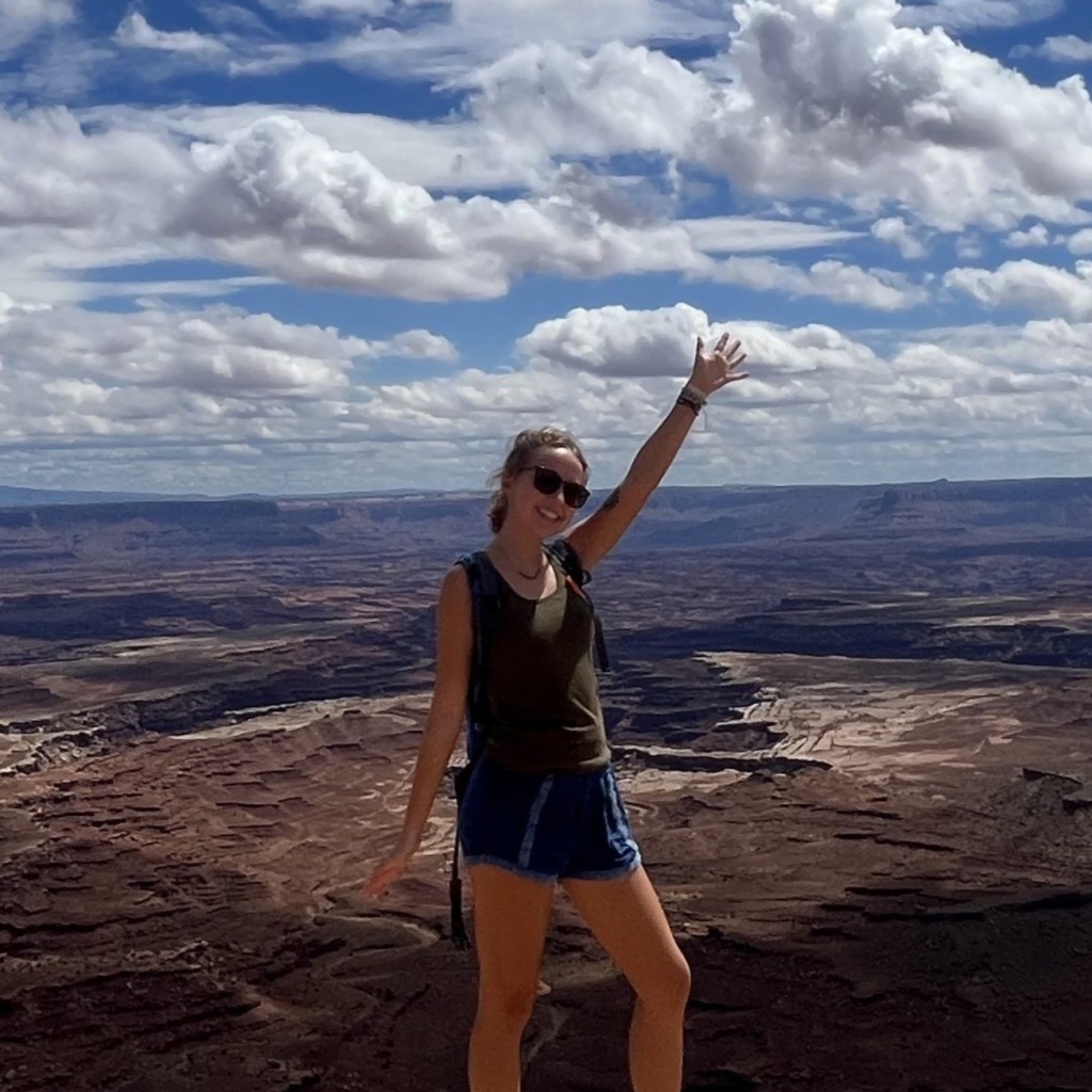
Unfortunately we turned around just as the rock climbing got a little too sketchy for us. But the views from where we stopped were still incredible of the surrounding mountains.
See if you can spot the Superstition Mountains and Flatiron in the photo below!

Coming back down the mountain, we decided to take the Amethyst Trail to Four Peaks Trail #130.
This took us back down to the parking lot with different views but it was quite overgrown and much rockier.
So I would suggest just following Brown’s Trail up and all the way back down.
Best Times to Drive to Four Peaks
Spring & Fall
We went in early November and the weather was really beautiful.
At night when we camped, it got pretty chilly down in the 50’s (°F) and during the day it stayed in the 60’s or 70’s depending on what elevation we were at. Hiking that close to the sun definitely made us work up a sweat even in the cooler temperatures. But overall it was a pleasant hike.
In the summer, despite the elevation, it can still get pretty hot at the top of the mountain. So I would recommend visiting in fall and spring when the weather is perfect for hiking.
In the winter, snow is likely on the peaks. If it does snow, it usually doesn’t last for long, but it would make for more dangerous hiking and driving conditions.

This was a great little weekend trip for us to take for an escape from the busy city life in Phoenix. I recommend this trip for anyone living in Arizona or anyone passing through who enjoys good mountain drives and hiking.
I hope you enjoyed my complete guide to driving to Four Peaks! Thank you so much for reading!


Leave a Reply